Having lived in NH for 3 years I got to know the 75 mile greenway well and was keen to run the loop as a whole to say good bye to the region. The SRK is a 75 mile loop, with around 14,000 ft of ascent but the main issue is just rough trails rather than ascents as it traverses Bog, Ragged, Kearsarge and Sunapee Mountains in its 75 mile loop. In June I attempted to break Tom Flummerfelt's 17:44 and was ahead of schedule until about the 47 mile point when early season heat got to me.
Having moved to Worcester, MA, this summer I thought it was over but an unseasonably cool forecast of a high of 70 F, and a fairly good moon suggested conditions were great for another attempt. With it being short notice and also the Ragged 3 stage race weekend I decided not to try to arrange support and go for the first self supported round. I still hoped to beat the 17:44 but completion was the main aim.
Although it was the 3 day race weekend my 3:20 am start from Sunapee meant I would be on the same part of the course as the racers were much later in the day so I wouldn't get to run with any runners, nor see aid, and this was how it panned out. I spent the short night on an air mattress in the bed of my truck waiting for the time to start.
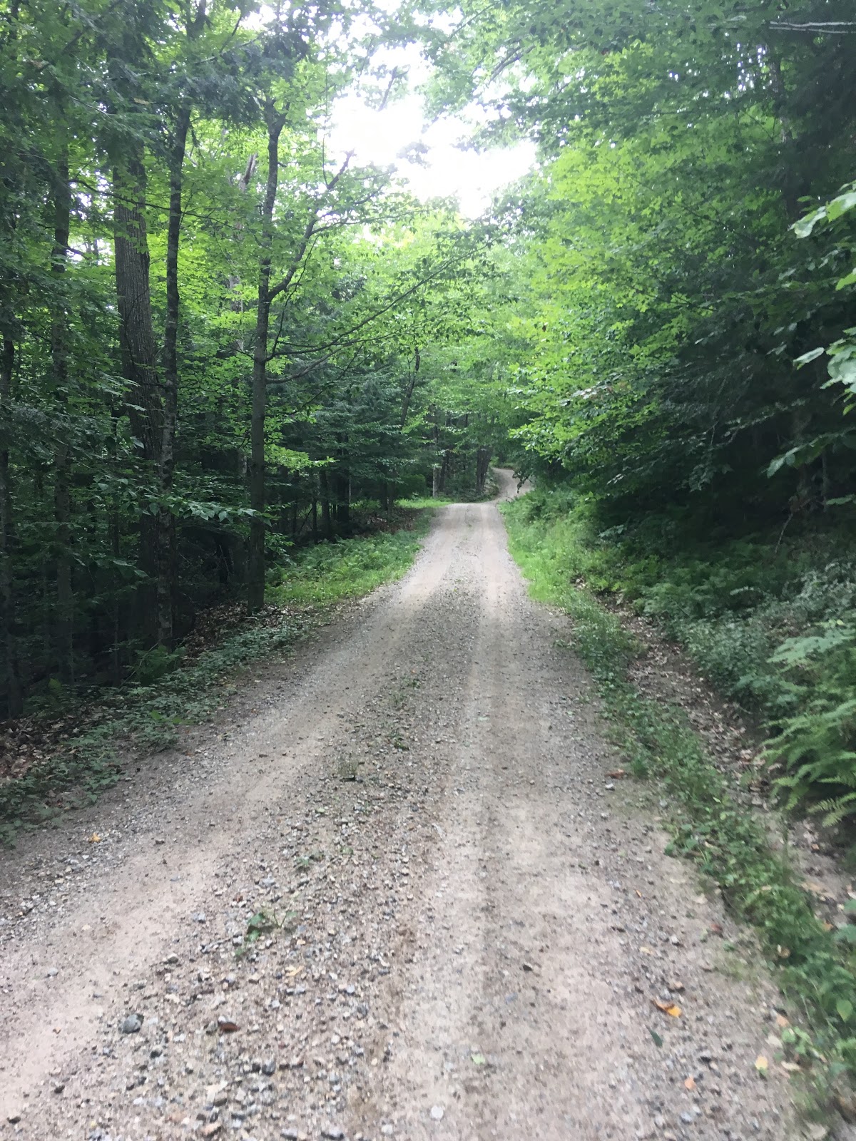
I set off from Sunapee Town Offices at 3:20 am and ran up past the elementary school, onto the dark trails and out on to the roads. The first 3-4 miles are on road, then old forestry trails and back onto roads with a final 2-3 miles of forest trails to take me to the 11 mile point at rt114, where I expected to have daylight. There's a beaver dam just before route 114 but this is now easily passed. Here I got my first aid point.
For some reason I wasn't feeling great right from the off and shortly after climbing Royal Arch started to feel sick and had a sustained period of vomiting shortly after leaving Morgan Pond Road. The trails on this section are pretty good, even the recently cleared sections just above route 114. I expected to arrive at the Pleasant Lake ahead up on Tom's FKT paces but was already a good 5 minutes off and lost a few more minutes getting food. But although I'd been ill I felt better and hoped to continue to improve as the morning progressed.
The route now climbs up through Webb Forest, descends, climbs again, and has a fast descent down to route 4A and around 23 miles in I felt pretty good. most of the first 20 miles is good running but the trails now get rougher as I approached Bog, running on rough trails to Stearns Road and then climbed Bog Mountain itself. I was feeling pretty good but was low on water but would get water up at the Ragged rail head so pushed on. The next 4 miles from Wilmot Center through to the Ragged trail head up New Canada Road are good miles and although I was moving OK I just had nothing in my legs and 9-10 minute miles were about as good as it got. This was where I really hoped to get up on Tom's time but I was just grabbing a few seconds and losing it at each food stop.
As I climbed Ragged it was clear I wasn't going to get ahead on this leg but I still climbed strongly and was strict about eating every 30-40 minutes despite still feeling sick. However as I descended Ragged I realized I just couldn't stop drinking and coudln't make my water supply point up on Kearsarge Mountain Road so stopped to spend a few minutes searching to find a hose at Proctor, thankfully finding one at the back of the school. From Proctor you now run out on the rail trail, up Bridge Street and take old forestry roads which undulate for 3.5 miles until you reach Twist Hill Road and eventually the mountain road and another food supply point.
I'm not going to lie, I was close to quitting, 45 miles in, 30 miles to go, no chance of the overall FKT, storm clouds above. But although I wasn't feeling great I was still eating and drinking and moving OK so I pushed on, climbed Kearsarge in cold strong winds, quickly took in the view and started to rough slow descent down to Kearsarge Valley Road. It's then just a flattish rough 1 mile overgrown trail through to Shaker Road, more food and the 50 mile point. Now it's 25 miles to the finish, only one big climb to go. Mentally I've broken the back on the course and can just plod it out but knew I was now facing darkness for a second time. I had left a change of clothes and vaseline here so apologies for anyone who drove past a half dressed guy vaselining up his crotch.. I also re-applied vaseline to my feet and changed my socks.


The trail is pretty flat through to Newbury with the exception of the climb up King Hill. My plan was Newbury by 6:30, buy some food, hike up Sunapee and hit the roads the other side by darkness leaving me with just 4.5 miles of trails to finish. I pretty much managed this and hit Newbury just after 6:30, went to the gas station (allowed on self supported), saw the jerky and bought some nuts and jerky. I ate the jerky and climbed the Newbury trail really well, 18-20 minute miles climbing a steep trail 63 miles in.. then my stomach though sod that and all the jerky and everything else came flying back out. I sat down and took a few minutes to empty my stomach and get it back together and got going again and hit the summit just as the sun was setting. On the summit I was cold, sick and tired and could just have sat in the lodge and called for a lift.. I knew it would be dark soon so I'd be in darkness for most of the last 10 miles.


In the rapidly encroaching darkness the descent was slow but otherwise I felt pretty good. It's a fairly rough trail so it was a fast walk/jog, hitting around 14-15 minute miles as I descended out to the old road at the top of the ski center. I'd left half a liter of coke at the Suna restaurant on route 103 so I ran down to there, drunk some of the coke and took it with me for the last 5.5 miles. It was now well past 9 pm as I ran down Harding Hill Road to the final 4.5 miles of trails, I had these broken down into 2.3 miles of good trails through to Hells Corner and then 2.2 miles of rough trails through to Sunapee playground. The trails on this last section are narrow, rarely used and pretty poor but with luminescent SRK signs it was actually easier to follow at night. At one point I took a big fall and stopped up confused which way was the correct way but guessed right, but soon enough I was following the old wall and climbing to the ridge before the steep descent to the park. The race route is then sign posted down the road and the official SRK route takes the trail through the harbor, so be careful there, and soon enough I was running down the field by the river to the back of Sunapee Town Offices and my truck.
I sat on the kerb, called the wife and was freezing cold in seconds. 19:04:40 on the watch but I'd accidentally stopped it a few times putting my vest on. Officially it was 19:05:40. I think it's the 3rd completion, second fastest, first self supported solo round.
Happy enough, I was never in trouble, no blisters, but just didn't feel at the races all day for some reason. Maybe it was the poor sleep and early start, maybe it was nerves, maybe it was just a bloody long way, not sure. Anyway it's done and I can't see me going back. Cool experience though, the closest experience I've had to a classic British round since moving here, much less ascent, but far more just rough terrain to run on.
Also thanks to Ben, Marek, Joffrey, Charlie, Andy, Eric, John, Keri and Gwen(and Meri of course) who helped or were due to help on the June attempt.
https://www.strava.com/activities/2610177860
https://fastestknowntime.com/route/sunapee-ragged-kearsarge-greenway-nh